

Last updated: August 2026
Wild Trail Hiker is reader-supported. We may earn a commission when you buy through links on this page, at no extra cost to you. We only recommend products we’d consider taking on a multi-day trip ourselves.
Before You Go
The Long Range Traverse has no marked trail. There is no tread, no signage, and no cairns to follow across the plateau: you navigate by map, compass, and terrain reading from the moment you climb out of the gorge above Western Brook Pond. Parks Canada caps the route at 3 groups a day, 4 people per group, and will not issue your backcountry permit until you have attended an in-person orientation and safety briefing the afternoon before you start. Fog can close in on the plateau within minutes and turn a straightforward walk into a genuine whiteout navigation problem, and there is no cell coverage anywhere on the route. This is not a trail for a first backpacking trip, and it is not a trail to attempt without real map and compass competence.
Why This Trail
The Long Range Mountains are the northernmost extension of the Appalachians, worn down over roughly 500 million years into a broad, boulder-strewn plateau rather than sharp peaks. Gros Morne National Park, which contains the whole route, is a UNESCO World Heritage Site for the geology on display here. That history is not why most hikers come, though. They come because this is one of the last true off-trail wilderness treks left in eastern North America, a route where the ponds function as navigation waypoints as much as camps, and where you can walk a full day without seeing another hiker.
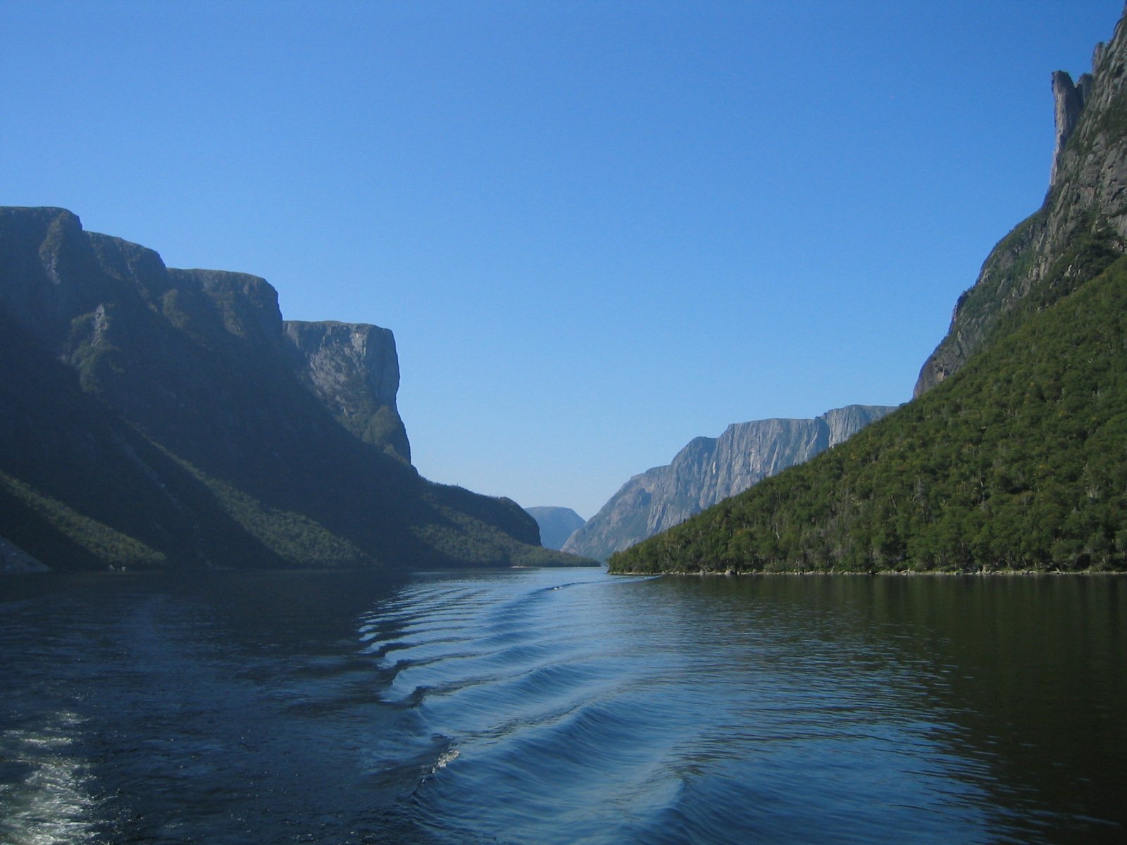
The traverse opens with a genuinely dramatic start: a boat ride the length of Western Brook Pond, a landlocked fjord walled in by 600-metre cliffs, dropping you at the base of a gorge with no way out except up. From there the route climbs onto an arctic-alpine plateau of open tundra, scattered ponds, and dense, stunted “tuckamore” thickets, before descending into Ferry Gulch and finishing, for most hikers, with an optional summit push up Gros Morne Mountain, the second-highest peak in Newfoundland. Moose are near-certain (the park holds one of the highest moose densities in North America), caribou and arctic hare turn up on the open plateau, and the total absence of a marked path is, for hikers who come back to do it again, the whole point.
Trail at a Glance
- Distance: About 35 km (21.7 miles) for the core traverse from the head of Western Brook Pond to the Gros Morne Mountain trailhead. AllTrails’ full logged route, which includes trailhead approach walking and the optional summit spur, comes out closer to 37 to 40 km (23 to 25 miles) depending on the exact line taken, since there is no fixed tread to measure against.
- Duration: 3 to 5 days. Parks Canada’s own guidance points hikers toward a minimum of 4 days; a 4-day, 3-night pace is the most common choice, with 5 days giving a more comfortable buffer for weather delays or a slower, more careful navigation pace.
- Difficulty: Expert. There is no trail tread anywhere on the plateau, elevation gain is a serious 1,700 m (about 5,600 ft) cumulative, and Parks Canada requires proof of navigation competence before issuing a permit.
- Best season: The route is only open from late June through September (Parks Canada sets the exact opening date annually, typically around June 26, and closes it September 30). July and August bring the most stable conditions, though rain and fog remain a real possibility even at the height of summer.
- Permits: Mandatory, released through Parks Canada’s online reservation system (reservation.pc.gc.ca) in mid-February for the coming season; the 2026 window opened February 11 at 8:30am Newfoundland time. Demand is high and the daily quota (3 groups, 4 people max per group) typically sells out within hours of release. You must also attend a mandatory in-person orientation at the Gros Morne Visitor Centre at 2:30pm the day before your scheduled start to collect your permit.
- Start trailhead: Western Brook Pond Trailhead, off Route 430 at Sally’s Cove: Western Brook Pond Trailhead on Google Maps
- End trailhead: Gros Morne Mountain Trailhead, off Route 430 south of Rocky Harbour: Gros Morne Mountain Trailhead on Google Maps
This is a point-to-point route, always walked north to south (Western Brook Pond to the Gros Morne Mountain trailhead), since the only access to the start is the one-way boat tour up Western Brook Pond.
Trail Map
View the Long Range Traverse on AllTrails: includes an elevation profile, hiker photos, and recent condition reports, useful for a general sense of the line even though the actual route is unmarked and off-trail.
Official Parks Canada Long Range Traverse route description: the source of truth for the six designated backcountry campsites and the mandatory orientation process. Parks Canada issues a printed topographic map at the orientation briefing; carry that or a purchased topo of the area, not just a phone screenshot.
Getting There and Away
Getting there (Western Brook Pond Trailhead, north end): The nearest airport is Deer Lake Regional Airport (YDF), roughly 72 km (45 miles) and about 1.5 to 2 hours by road from the Rocky Harbour area via Route 430, the Viking Trail. There is no public transit to the trailhead, so you need a rental car or a pre-arranged taxi. From the Western Brook Pond parking lot, an easy, flat 3 km trail leads to the boat dock; from there, BonTours runs the one-way boat shuttle the length of the fjord to the base of the gorge where the climb begins. Book well ahead through BonTours (1-888-458-2016); the service generally runs June through September and is weather-dependent, so build a buffer day in if you can.
Getting away (Gros Morne Mountain Trailhead, south end): The Gros Morne Mountain trailhead sits on Route 430 a short drive south of Rocky Harbour, with its own parking lot. Because this is a one-way hike between two trailheads roughly 30 minutes apart by road, most hikers with only one vehicle leave it at the finish point and take a taxi to Western Brook Pond at the start, so the car is waiting for them at the end. Local taxi operators in Rocky Harbour and Norris Point cover this route; Pittman’s Taxi (709-458-2486) is one commonly used option. Arrange it a few days ahead, since options are limited outside peak season.
Staging towns: Rocky Harbour is the main service town, with groceries, fuel, restaurants, and a range of accommodation, and it sits roughly midway between the two trailheads. Norris Point and Woody Point, linked by a 15-minute water taxi that saves an hour or more of driving around Bonne Bay, are smaller alternatives with their own lodging. Plan to spend the night before your trip near Rocky Harbour so you can make the 2:30pm orientation without a rushed drive.
Day-by-Day Breakdown
The breakdown below follows the most commonly recommended 4-day, 3-night pace, using the official Parks Canada campsite names. Distances vary between sources since there is no fixed trail to measure, so treat the figures as approximate and confirm your own plan against the map issued at orientation. A slower 5-day pace, which adds a stop at Lower Green Island Pond, is a sensible choice if you want more buffer against weather or a first attempt at off-trail navigation; it’s noted at the end of this section.
Day 1: Western Brook Pond to Marks Pond (about 12.4 km / 7.7 miles)
Highlight: The boat ride up the fjord and the gorge climb onto the plateau.
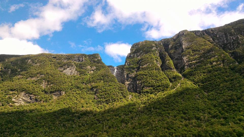
The day starts with the boat shuttle the length of Western Brook Pond, cliffs rising more than 600 metres on either side, before dropping you at the eastern end with no way forward except up. The first 4 km climb roughly 400 metres through a steep, unmaintained gorge; expect to use your hands on boulders and roots in places, and budget considerably more time for this stretch than the distance alone suggests. Once you crest the gorge, the terrain opens into arctic-alpine plateau, past Little Island Pond and on to Marks Pond, the first official designated campsite (LR-6). This is consistently rated the hardest single day of the trip, not because of the total distance but because of the gorge climb and the adjustment to off-trail travel.
Day 2: Marks Pond to Hardings Pond (about 5.5 km / 3.4 miles)
Highlight: Open plateau walking past Ten Mile Pond, with sweeping views back toward the coast on a clear day.
A short day by design, giving you a chance to recover from Day 1’s climb while you get comfortable reading the terrain and ponds as navigation references. The plateau here is a mix of open tundra, boulder fields, and boggy ground, with tuckamore, dense mats of stunted spruce and fir, forcing detours in places. Hardings Pond (LR-8) is the camp for the night.
Day 3: Hardings Pond to Ferry Gulch (about 17 km / 10.5 miles)
Highlight: The longest and most remote day, crossing the heart of the plateau past the Green Island Ponds.
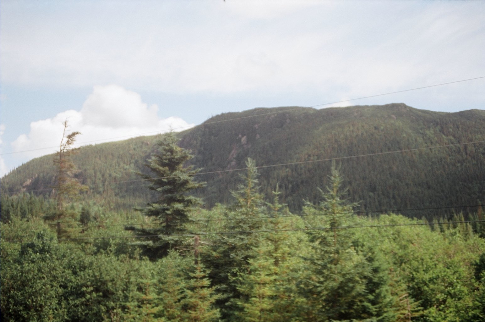
This is the traverse’s biggest test of navigation stamina: a long day of sustained off-trail travel across open, exposed plateau, with the Green Island Ponds (Lower and Upper, LR-11 and LR-12) as the main waypoints partway through. There is little shelter from wind or weather up here, and this is the stretch where a fog whiteout is the most consequential, since it’s the furthest point from any road access in either direction. Ferry Gulch (LR-16), the last designated campsite, sits at the point where the plateau begins to fall away toward Gros Morne Mountain.
Day 4: Ferry Gulch to Gros Morne Mountain Trailhead, with optional summit (about 8 km / 5 miles, plus 6.4 km / 4 miles round trip for the summit)
Highlight: The steep descent off the plateau and, for most hikers, a finish on top of Gros Morne Mountain itself.
The descent from Ferry Gulch is steep and often muddy, and it’s a stretch that catches tired legs out after three days of plateau walking; take it slowly. Once you’re down, the route joins the marked and maintained Gros Morne Mountain trail, a welcome change after days without one, for the final push. Most hikers use this last day to detour up Gros Morne Mountain itself, 806 m (2,644 ft) and the second-highest peak in Newfoundland, before descending to the trailhead parking lot on Route 430. Budget 2 to 4 hours for the descent from Ferry Gulch alone, more with the summit add-on.
Slower 5-day option: insert an extra night at Lower Green Island Pond between Hardings Pond and Ferry Gulch, splitting Day 3’s long 17 km push into two more manageable days. This is a sound choice for a first off-trail traverse, or simply to build in a buffer against the fog and wind that can otherwise force you to sit still for half a day.
What to Expect
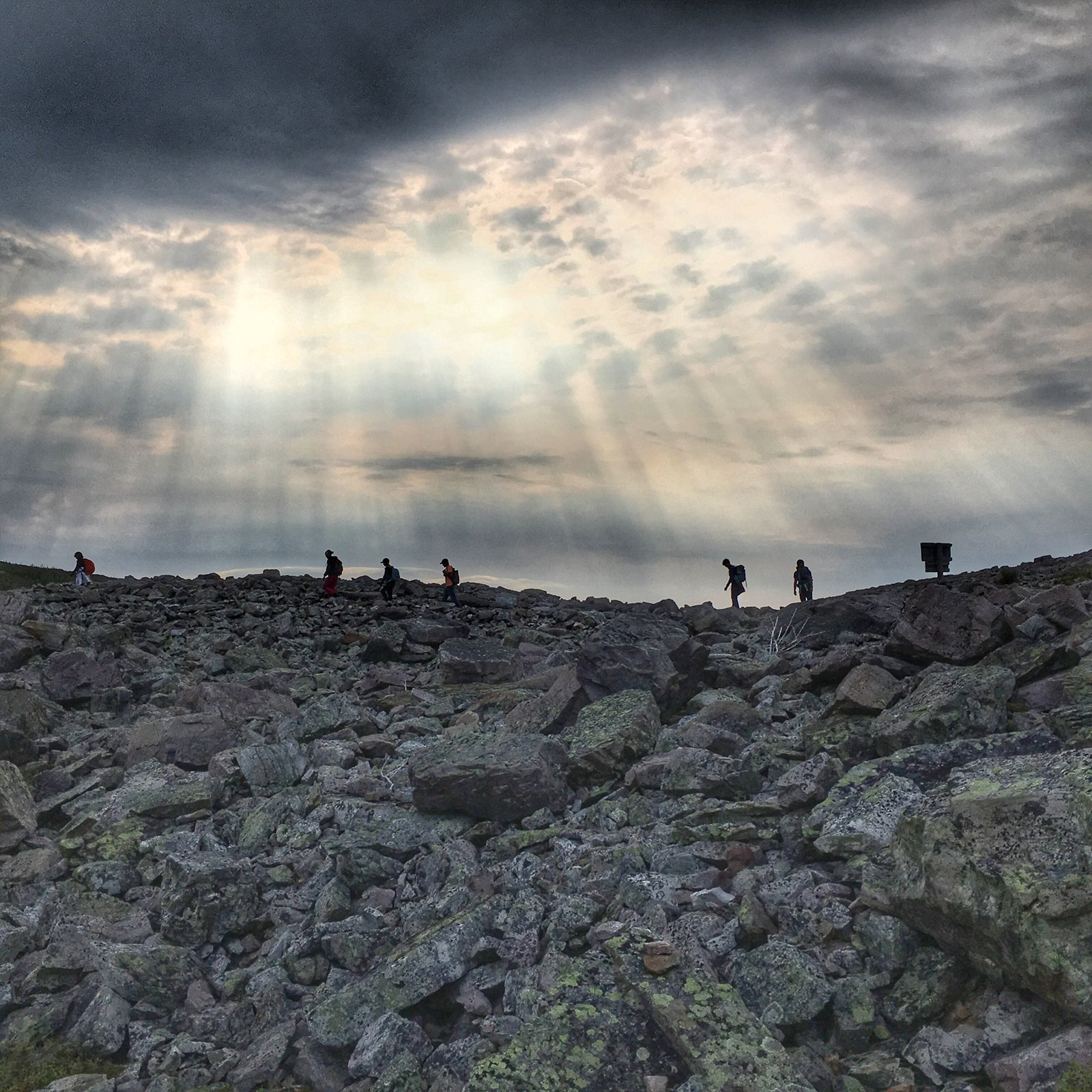
Terrain: Genuinely off-trail throughout the plateau section: open arctic-alpine tundra, boulder fields, boggy ground that swallows a boot to the ankle in places, and tuckamore thickets dense enough to force real detours. The Day 1 gorge climb and the Day 4 descent into and out of Ferry Gulch are the two steepest, most physically demanding stretches.
Weather: Highly changeable even in the July to August peak window. Wind, rain, and fog are all common on the exposed plateau, and temperatures can swing sharply with elevation and cloud cover. Fog is the trail’s defining hazard: it reduces visibility fast enough to turn straightforward terrain into a genuine navigation problem, which is the core reason behind the mandatory orientation and the emphasis on map and compass skill.
Wildlife: Moose are close to a certainty; the park holds one of the highest moose densities in North America, at roughly 3,500 animals. Caribou and arctic hare are regular sightings on the open plateau, and rock ptarmigan turn up in the tundra. Black bears are present but sightings are uncommon and rarely more than a bear moving away from you; standard food storage and campsite hygiene, covered below, is the primary precaution, not personal defence.
Crowds: About as low as backcountry hiking gets in a national park. With only 3 groups and 12 people permitted to start each day, real solitude on the plateau is close to guaranteed outside the designated campsites, where you’ll typically cross paths with the groups who started your day or the day before.
Signature features: The Western Brook Pond boat ride and gorge climb, the open arctic-alpine plateau itself, the Green Island Ponds, and the optional Gros Morne Mountain summit to finish.
Water: sources, safety, and treatment
Water is generally easy to find across the plateau: the route is threaded with ponds and streams, and the named ponds (Little Island Pond, Marks Pond, Hardings Pond, the Green Island Ponds) that double as campsites are also reliable water sources. No official Parks Canada guidance found in research states that any source on the plateau is safe to drink untreated, so the practical default is to treat everything, either by filter or by boiling, regardless of how remote or clear a source looks. A standard squeeze or gravity water filter handles this trail’s water well and is standard kit here.
Not a drinking-water issue but a related hazard: fast-changing weather on the plateau can raise stream levels quickly after rain. If a crossing looks high or fast, wait it out rather than force it.
Logistics
Permits and the orientation process are the real bottleneck here, more so than cost. Reservations open through Parks Canada’s online system in mid-February for the coming season and typically sell out within hours given the daily cap of 3 groups. Recent pricing puts the combined permit and boat shuttle cost at around $162 CAD (roughly $113 USD) per person, on top of the park’s standard daily entry fee (around $11 CAD for an adult).
You must attend the mandatory orientation and safety briefing at the Gros Morne Visitor Centre at 2:30pm the day before your scheduled start; missing it forfeits your reservation. Each of the six designated backcountry campsites (Little Island Pond, Marks Pond, Hardings Pond, Lower and Upper Green Island Pond, and Ferry Gulch) has a pit toilet and a food storage locker; use the lockers rather than hanging food, and keep a scent-free, clean camp regardless of how remote a night feels.
Mandatory Gear Checklist
For the full kit list with specific picks and why each one earns its place, see What to Pack for the Long Range Traverse. The essentials:
- A topographic map and compass, and real proficiency with both. This is not optional equipment on an unmarked route; Parks Canada’s own orientation process exists because of it. See best hiking compasses.
- A handheld GPS device or satellite communicator, as a second layer of navigation and a way to call for help given the total absence of cell coverage on the route. See best hiking GPS devices.
- A satellite messenger or personal locator beacon (PLB). With no cell signal anywhere on the traverse, this is the only reliable way to call for help in an emergency. Buy or rent a trusted unit; this is safety equipment, not a category we monetise.
- Sturdy, broken-in waterproof boots with real ankle support, for the boulder fields, bog, and steep gorge and gulch sections. See best waterproof hiking boots.
- Trekking poles, genuinely useful for balance on the boulder fields and the steep, often muddy Day 1 and Day 4 climbs and descents. See best trekking poles.
- A genuinely waterproof rain jacket and rain pants, given how quickly wind, rain, and fog move in on the exposed plateau. See best lightweight hiking jackets and best rain pants for hiking.
- A reliable water filter, since no source on the plateau is stated as safe to drink untreated. See best water filters for hiking.
- Bear spray, for personal comfort and preparedness given the black bear population, even though close encounters are uncommon. See best bear sprays.
Honest Assessment
This trail is for hikers who already have solid backcountry experience and genuine, tested map and compass skills, not hikers looking to build those skills for the first time. Parks Canada’s own permit process is built around confirming that competence before it lets you start, and that filter exists for good reason: the plateau offers real consequences for a navigation mistake in fog, with no marked trail to fall back on and no cell coverage to call for help.
It is not a trail for someone who has only followed signed, blazed routes, and it is not forgiving of underestimating the gorge climb or the long Day 3 push. Hikers who want a taste of the same landscape without the off-trail demand can walk the maintained Gros Morne Mountain trail as a strenuous day hike, from the same southern trailhead.
Among experienced backcountry hikers, the consensus is that this is one of the best true wilderness treks left in eastern North America, precisely because so few other routes in the region still demand this level of self-sufficiency. It rewards exactly the kind of preparation it asks for.
Final Thoughts
The Long Range Traverse asks more of your planning and navigation than almost any other trail on this site, and that’s the whole draw. Book your permit the moment the season opens, take the orientation briefing seriously rather than as a formality, and don’t step onto the plateau without real confidence in your map and compass. If your navigation skills need work before a trip like this, multi-day hiking skills is worth reading first, and how to plan your first multi-day hike covers the broader trip-planning fundamentals this route leans on hardest. For the complete packing list, see What to Pack for the Long Range Traverse.
Frequently Asked Questions
Do I need a permit for the Long Range Traverse?
Yes, for every trip. Reservations open through Parks Canada’s online system in mid-February for the coming season and sell out fast given the daily cap of 3 groups. You must also attend a mandatory orientation at the Gros Morne Visitor Centre the afternoon before your start to receive the permit.
Do I need real navigation skills to hike this trail?
Yes. There is no marked trail across the plateau, and Parks Canada’s mandatory orientation exists specifically to confirm hikers understand the hazards and can navigate with a map and compass. This is not a trail to learn those skills on for the first time.
What’s the best month to hike the Long Range Traverse?
The route is only open from around late June through September. July and August offer the most stable weather, though rain and fog remain possible even in peak season, and the plateau’s exposed terrain means weather can change fast regardless of the calendar month.
Can beginners hike the Long Range Traverse?
Not recommended. This trail suits hikers with existing multi-day backcountry experience and genuine map and compass competence. Hikers wanting a taste of the same landscape without the off-trail navigation demand can hike the maintained Gros Morne Mountain trail as a standalone day hike instead.
How many people can hike it at once?
Parks Canada caps the route at 3 groups per day, with a maximum of 4 people per group, which keeps the trail genuinely uncrowded compared to most national park backcountry routes.
