

Last updated: July 2026
Wild Trail Hiker is reader-supported. We may earn a commission when you buy through links on this page, at no extra cost to you. We only recommend products we’d consider taking on a multi-day trip ourselves.
Before You Dive In
The Tour du Mont Blanc needs no permit and charges no trail fee, but that is close to the only thing about it that does not need planning. Refuges along the classic route sell out for July and August a full six months out, and the popular ones start taking bookings the previous autumn. If you are aiming for peak season, book your beds before you book your flights. Two of the four scenic variant routes are also weather- and season-restricted, and the final two stages run dry, with no potable water at the refuges themselves.
Why This Trail
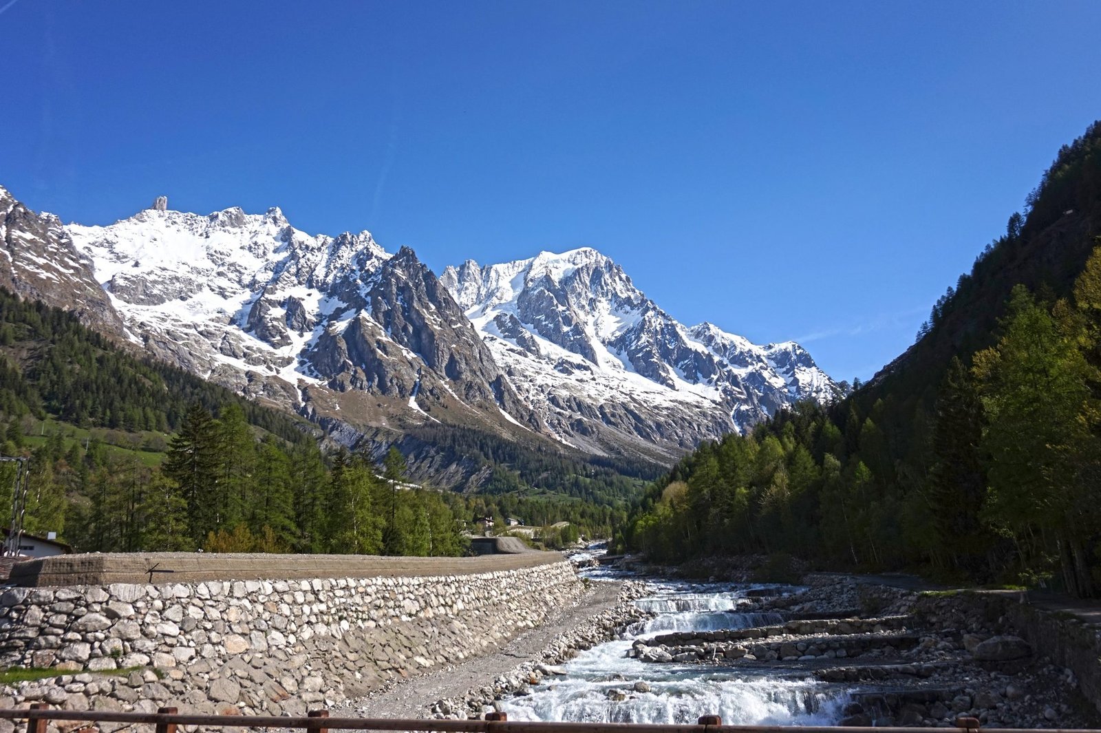
The Tour du Mont Blanc is the trail that most long-distance alpine circuits get compared to, and for good reason. In roughly 170 kilometres it crosses France, Italy, and Switzerland, circling the Mont Blanc massif so that you see the mountain from every side rather than just the postcard angle. The terrain itself is not technical: the paths are well graded, well marked, and rarely exposed. What makes it hard is the accumulation. Eleven days of climbing and descending a mountain pass a day adds up to more elevation gain than climbing Everest from sea level, and the trail does not let up to give you a rest day unless you build one in.
What experienced hikers consistently point to is the variety packed into a single loop: French farmhouse refuges serving dinner by candlelight, an Italian valley floor with glaciers dripping down both sides, gentle Swiss pastureland that feels like a different trip entirely, then a return to France over a ridge with a run of thirteen ladders bolted into a rockface. Few multi-day trails change character this many times without ever leaving one mountain.
Trail at a Glance
| Distance | Approx. 170 km (106 miles), full circuit |
| Duration | 10 to 11 days for the classic route (8 to 14 days depending on variants and rest days) |
| Elevation gain/loss | Approx. 10,000 to 10,600 m (32,800 to 34,800 ft) cumulative |
| Difficulty | Hard (terrain is non-technical; difficulty comes from daily elevation change and cumulative distance) |
| Highest point | Grand Col Ferret, 2,537 m (not high enough to typically cause altitude sickness) |
| Best season | Mid-June to mid-September |
| Permits | None required. No trail fee. Refuge bookings are the real constraint |
| Start / end trailhead | Les Houches, France (loop route): Les Houches on Google Maps |
| End trailhead | Same as start (loop): Les Houches on Google Maps |
Trail Map
View the Tour du Mont Blanc (TMB) on AllTrails: the full-circuit page, with elevation profile, user photos, and current conditions reported by recent hikers. AllTrails also hosts a complete list of individual stage maps for all 11 classic stages plus variants, useful if you are planning day by day.
There is no single official park authority covering the whole route since it crosses three countries, so AllTrails’ stage-by-stage coverage is the most practical single source.
Getting There and Away
Getting there: Geneva Airport (Switzerland) is the main gateway, even though the trail starts in France. From the airport, a door-to-door shared shuttle bus is the most practical option: services such as Mountain Dropoffs and Easybus run frequently, take roughly 1 hour 15 minutes to Chamonix, and cost from around €30 per person one way. From Chamonix, Les Houches is a short local bus or train ride further into the valley (the Mont-Blanc Express narrow-gauge line stops there).
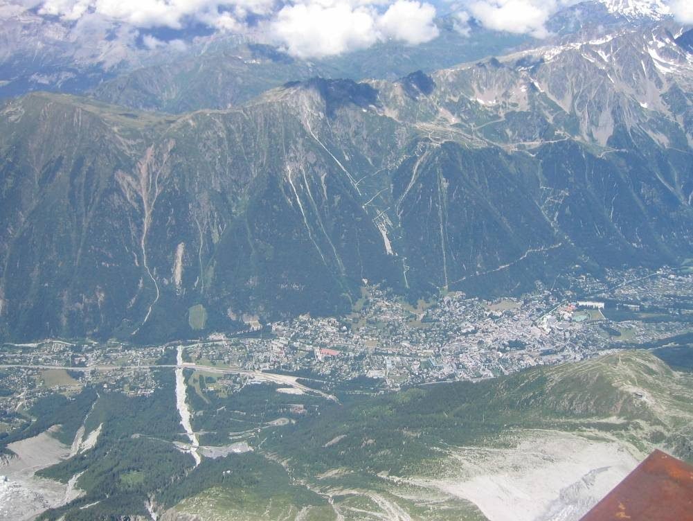
Driving from Geneva takes about an hour, but note that Les Houches has limited trailhead parking in peak season.
Getting away: The TMB is a loop, so getting away is the same as getting there, back out through Chamonix to Geneva. Chamonix itself is the natural staging town both before and after the trek: it has by far the most accommodation, gear shops, and transport options in the valley, and most hikers spend at least one night there on each side of the trek. Book Chamonix and Les Houches accommodation early for July and August, the same booking pressure that applies to the refuges applies to valley beds.
Day-by-Day Breakdown
The classic route runs counter-clockwise from Les Houches over 11 days. Distances and elevation figures below are for the traditional stage routes; several stages have shorter shuttle-bus options noted where they exist.
Day 1: Les Houches to Refuge Miage or Auberge du Truc
Roughly 14.7 km, 1,445 m up / 740 m down, 5 to 6 hours. An easier first day that eases you in via the Col du Tricot variant, crossing alpine meadow with views of the Bionnassay glacier and a suspension bridge crossing en route. The Bellevue cable car (open roughly early June to mid-September) cuts the first two hours of unremarkable ascent out of Les Houches, and most hikers take it. The descent to Refuge Miage is steep; poles earn their keep here.
Day 2: Refuge Miage to Refuge de la Croix du Bonhomme
Roughly 16.9 km, 1,361 m up / 635 m down, 5 to 6 hours. Passes through the town of Les Contamines (a good coffee stop) and the Notre Dame de la Gorge chapel before climbing over two passes, Col du Bonhomme (2,329 m) and Col de la Croix du Bonhomme (2,483 m). Snow can linger on Col du Bonhomme into late July, though without exposure. Early season (mid-June to early July) demands more caution and possibly crampons. The night’s refuge is one of the most remote on the route, basic but memorable.
Day 3: Refuge de la Croix du Bonhomme to Val Veny
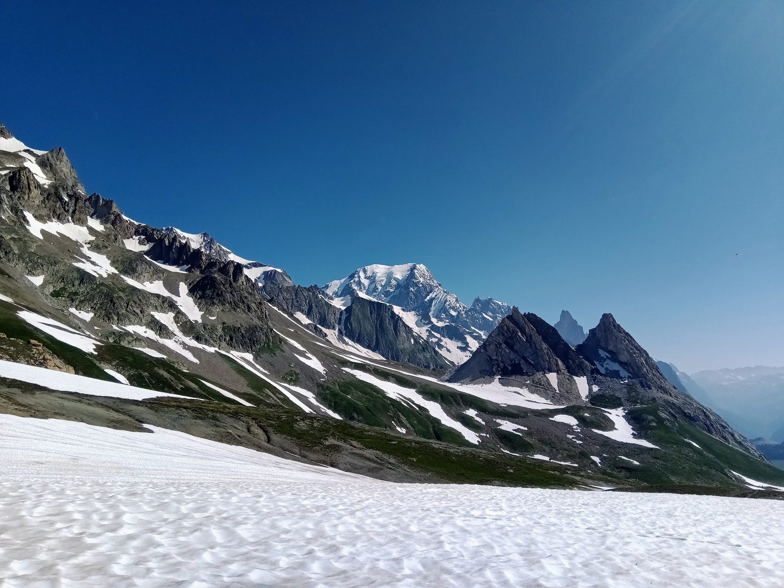
Roughly 18.7 km (or 14.9 km using the Les Chapieux shuttle bus), 1,032 m up / 1,288 m down, 5 to 6 hours. Crosses Col de la Seigne, the France-Italy border, where Mont Blanc reappears from a new angle. Overnight is at Refugio Elisabetta or Cabane Combal, both basic high-mountain refuges with limited beds, book ahead.
Day 4: Val Veny to Courmayeur
Roughly 15.7 km, 540 m up / 1,532 m down, 4 to 5 hours. Traces the southern flank of Val Veny with views of the Miage glacier’s moraine, then descends into the Italian town of Courmayeur, the natural rest-day stop on the circuit if you want one. A chairlift and cable car combination can shorten the final descent in August and September.
Day 5: Courmayeur to Val Ferret (Refugio Bonatti)
Roughly 12.1 km, 1,088 m up / 263 m down, 4 to 5 hours. A shorter day to the well-regarded Rifugio Bonatti, perched above the valley with wide views back across to the French and Swiss sides of the massif. No shortcuts on this stage; it rewards an unhurried pace.
Day 6: Val Ferret to La Fouly
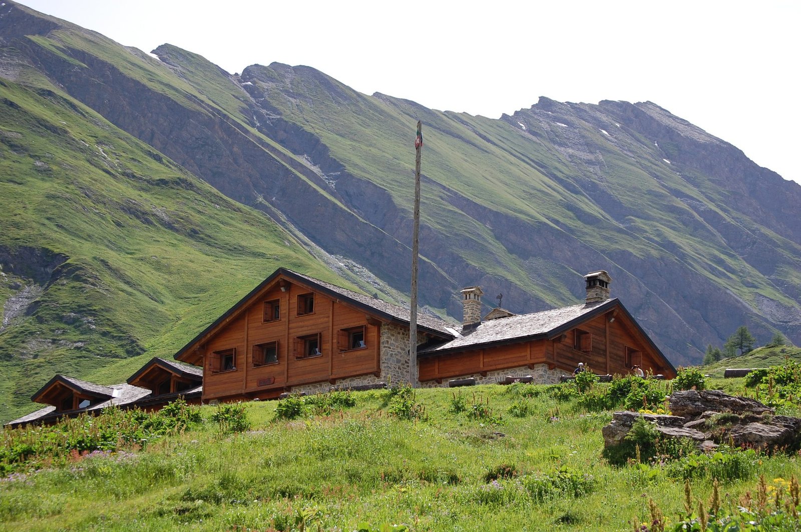
Roughly 18.6 km, 907 m up / 1,331 m down, 5 to 6 hours. Crosses Grand Col Ferret, the highest point on the classic route at 2,537 m, and with it the border into Switzerland. The landscape changes abruptly from Italian granite to gentle Swiss alpine meadow. La Fouly sits near Mont Dolent, the tripoint where France, Italy, and Switzerland meet.
Day 7: La Fouly to Champex-Lac
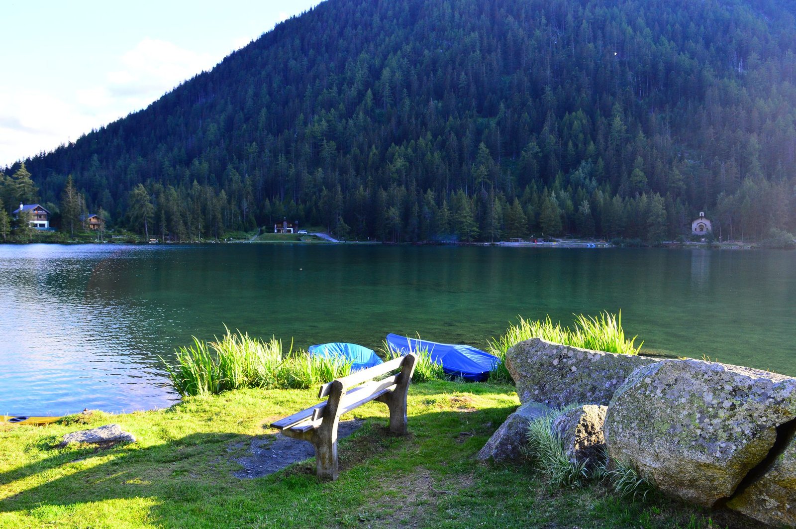
Roughly 14.8 km, 578 m up / 709 m down, 3 to 4 hours. The gentlest stage on the whole route, no pass to climb, through rural Swiss pastureland. Champex-Lac, a lakeside village nicknamed “Little Canada” locally, books out fast despite having more beds than most overnight stops, reserve early.
Day 8: Champex-Lac to Trient (or Refuge Le Peuty)
Roughly 16.7 km, 856 m up / 1,052 m down, 4 to 5 hours. The standard route takes the Bovine path to Col de la Forclaz before dropping into Trient. A variant over Fenêtre d’Arpette is the most technically demanding section of the entire TMB, crossing a boulder field, and should only be attempted in good weather in peak season (not in June, rarely in early July).
Day 9: Trient to Tré-le-Champ
Roughly 13.9 km, 1,151 m up / 1,024 m down, 4 to 5 hours. Climbs Col du Balme for the first full view back down the Chamonix valley toward Les Houches, a genuine morale-boosting moment this late in the trek. The ridge walk out to L’Aiguillette des Posettes (2,201 m) offers a 360-degree panorama but should never be attempted in poor weather; it is known for lightning strikes. The final descent into Tré-le-Champ is steep on tired legs.
Day 10: Tré-le-Champ to Refuge de la Flégère
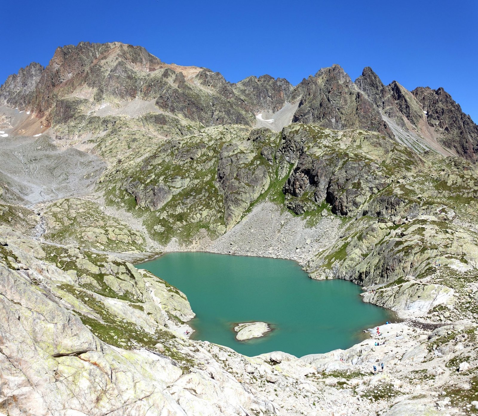
Roughly 8.2 km, 997 m up / 510 m down, 3 to 4 hours. Short on distance but the most physically distinctive day on the trail: the route climbs through the Aiguilles Rouges nature reserve (watch for chamois and ibex) and up a series of thirteen fixed ladders bolted into the rock, the best-known single feature of the TMB. A short detour reaches Lac Blanc, a striking alpine lake, for those with time and energy. This stage is dry: Refuge Lac Blanc has no potable water for refills, so carry enough or budget for bottled water (cash only).
Day 11: Refuge de la Flégère to Les Houches
Roughly 17.4 km, 811 m up / 1,682 m down, 4 to 5 hours. The final stage climbs to Le Brévent for arguably the best single viewpoint of Mont Blanc on the entire circuit, then descends a long, knee-jarring trail back to Les Houches, past wild azaleas and more chances of spotting chamois. Like Day 10, this stage is dry with no potable refill at Refuge Bellachat. A cable car option exists from Le Brévent for those who want to shorten the descent.
What to Expect
Terrain: Well-graded and non-technical for almost the entire route. The two exceptions are the Fenêtre d’Arpette variant (Day 8, boulder field) and the ladder section on Day 10 (secure but exposed to height). Descents are frequently steeper and longer than ascents, which is where most fatigue and knee strain shows up.
Weather: Afternoon thunderstorms are common around 4pm in peak summer (July and August), which is why an early start and early finish each day is the norm on the TMB rather than a suggestion. Snow can linger on the higher passes (notably Col du Bonhomme and Col du Brévent) into July in a heavy snow year.
Wildlife: Chamois and ibex (bouquetin) are regularly seen, especially through the Aiguilles Rouges nature reserve on Days 10 and 11.
Crowds: July and August are the busiest months and the hardest to book; June and September are quieter but come with more variable weather and some cable cars and route variants restricted or closed.
Signature features: Col de la Seigne’s first view of Mont Blanc’s Italian face, the Rifugio Bonatti terrace, the Day 10 ladder section, and the Le Brévent viewpoint on the final day.
Water: sources, safety, and treatment
Tap water is safe to drink throughout the region, and public fountains are common in villages and at many refuges, look for a sign reading “eau potable” (drinking water); avoid any marked “eau non potable.” Streams and rivers along the route should be filtered before drinking, there is enough livestock grazing along the trail that untreated stream water carries a real contamination risk. Glacial melt pools such as Lac Blanc are not safe untreated sources either, despite looking pristine; stagnant meltwater can harbour pathogens.
Days 10 and 11 are the two dry stages on the route: neither Refuge Lac Blanc nor Refuge Bellachat can refill water bottles, so fill up before you leave the previous overnight stop and carry a bit extra, or budget cash (euros) for bottled water at the refuges. A compact filter or filtering bottle is worth carrying for the stream crossings on the other nine days. See our water filters guide for options that pack small.
Logistics
Refuge booking is the real logistical challenge of the TMB, not the walking. Most refuges open bookings the autumn before the season (September through November), and by March the most popular stages are frequently sold out for July and August. If you are set on a summer date, book refuges 5 to 6 months ahead at an absolute minimum, earlier if you can.
Costs vary by country: expect roughly €52 to €80 per person for a dorm bed with half board on the French and Italian sections, and €80 to €110 on the Swiss section, with showers sometimes charged separately (a few euros) and private rooms, where available, adding €15 to €25 on top. Many hikers use a luggage transfer service between overnight stops so they only carry a day pack on the trail itself, worth considering if the daily elevation change is the main concern rather than the distance.
Mandatory Gear Checklist
This is a hut-to-hut trek, not a wild camp, so the kit list leans toward day-pack comfort over full expedition load-outs. For the full kit list with picks and why each item matters, see our What to Pack for the Tour du Mont Blanc guide. What matters most:
- Trekking poles, non-negotiable given how many long, steep descents the route stacks up (Days 1, 3, 4, 9, and 11 all drop over 1,000 m). See our trekking poles guide.
- A supportive daypack in the 30 to 40 litre range if using luggage transfer, large enough for layers, water, and lunch. See our lightweight daypacks guide.
- Broken-in, waterproof boots or trail shoes. Terrain is non-technical but relentless; blisters end more TMB treks than injuries do. See our waterproof hiking boots guide and blister-resistant hiking socks guide.
- An insulated layer. Refuge nights above 2,000 m get cold even in July and August, and afternoon storms bring a real temperature drop. See our insulated jackets guide.
- Rain protection you can hike in for hours, not just stand in. Afternoon storms are a daily possibility in peak season. See our rain pants for hiking guide.
- A compact water filter or treatment option for stream refills on the nine non-dry stages, plus extra carry capacity for Days 10 and 11. See our water filters guide.
Honest Assessment
The TMB suits hikers who are reasonably fit, comfortable with long descents day after day, and happy to plan six months ahead for refuge beds. It does not demand technical skill, rope work, or high-altitude acclimatisation, the highest point on the classic route sits well under 3,000 m. It does demand consistency: eleven days in a row of several hours of climbing and descending, with only as much rest as you choose to build in around Courmayeur.
It is not the trip for hikers who want solitude in peak season; July and August bring genuine crowds to the popular refuges and viewpoints. It is also a poor fit for anyone who wants to wild camp and self-cater exclusively, refuge culture and half-board dinners are central to how most people experience the route, and pure camping options are limited by terrain and regulation in places. Among experienced long-distance hikers, the consensus is that the TMB earns its reputation: fewer technical demands than routes like the Haute Route, but a genuinely complete tour of one of the most recognisable mountains in the world.
Final Thoughts
The Tour du Mont Blanc rewards planning more than it rewards fitness. Book your refuges before your flights, respect the two dry stages, and the trail itself does the rest, delivering a different version of Mont Blanc roughly every two days for eleven days straight. If this is your first trek at this length and elevation gain, start with our Plan Your First Multi-Day Hike guide before you touch a refuge booking form, or compare notes with our guides to the Milford Track and the Torres del Paine O Circuit, two other multi-day circuits with a similar hut-to-hut rhythm. Browse more trips like this in Wild Trails.
Frequently Asked Questions
Do I need a permit to hike the Tour du Mont Blanc?
No. There is no permit or trail fee for the TMB itself. The only real cost and planning constraint is booking refuge beds, which sell out for peak season (July and August) as early as the preceding autumn.
How fit do I need to be for the Tour du Mont Blanc?
You do not need technical mountaineering skill, but you do need to be comfortable with consecutive days of significant elevation change, several stages gain or lose over 1,000 m in a single day. Regular hiking fitness with hill training beforehand is the realistic minimum.
Can I do the Tour du Mont Blanc without staying in refuges?
Some hikers combine refuges with limited camping where permitted, but refuge stays are how most people complete the route, and beds book out well in advance in peak season. Treat refuge booking as the first task on your planning list, not an afterthought.
What is the best month to hike the Tour du Mont Blanc?
Mid-July through late August has the most reliable conditions and full cable car and variant-route access, but it is also the busiest and hardest to book. June carries snow risk on the higher passes and restricts some variants; September is quieter with generally stable weather but a shorter daylight window and earlier refuge closures toward the end of the month.
