

Last updated: August 2026
Wild Trail Hiker is reader-supported. We may earn a commission when you buy through links on this page, at no extra cost to you. We only recommend products we’d consider taking on a multi-day trip ourselves.
Before You Go
The Colorado Trail runs 567 miles from Waterton Canyon near Denver to Durango, and most thru-hikers spend 4 to 6 weeks on it. This guide skips that commitment. It covers three of the best Colorado Trail sections, ones you can hike in 5 to 9 days each, no thru-hiker training block or six weeks of banked vacation required. Almost the entire trail sits above 10,000 feet, so altitude and afternoon thunderstorms are the real planning constraints here, not distance. No permit is needed to hike the Colorado Trail itself, but free self-issue wilderness permits are required at trailhead kiosks wherever the route enters a designated wilderness area, covered in Logistics below.
Why This Trail
The Colorado Trail crosses eight mountain ranges and six national forests on its way from the Front Range to the San Juans, and unlike a lot of Western long trails built around one sustained landscape, it changes character section by section. That makes it a strong candidate for section hiking rather than a single thru-hike commitment, and the Colorado Trail Foundation itself estimates most of the trail’s users experience it in pieces rather than end to end.
This guide covers three sections chosen to show three genuinely different sides of the trail: the Tenmile Range and Camp Hale country above Summit County and Leadville, the high alpine showpiece of the Collegiate West route near Buena Vista, and the jagged, remote San Juan Mountains toward the trail’s southern end. Among experienced Colorado Trail hikers and the guides who have walked every segment, these three come up again and again as the stretches worth building a dedicated trip around, distinct from the sections that mostly connect one highlight to the next.
Trail at a Glance
| Section | Location | Distance | Duration | Difficulty | Best season |
|---|---|---|---|---|---|
| Segments 6 to 8: Kenosha Pass to Tennessee Pass | Front Range / Summit County | ~71 miles, point-to-point | 5 to 7 days | Moderate to hard | Late June to September |
| Collegiate West (CW1 to CW5): Twin Lakes to Monarch Pass | Sawatch Range, near Buena Vista | ~83 miles, point-to-point | 6 to 9 days | Hard | Mid-July to mid-September |
| Segments 21 to 24: Spring Creek Pass to Molas Pass | San Juan Mountains, near Lake City and Silverton | ~69 miles, point-to-point | 5 to 7 days | Hard | Mid-July to mid-September |
Trailheads:
- Segments 6 to 8: start at Kenosha Pass on Google Maps, finish at Tennessee Pass Trailhead on Google Maps
- Collegiate West: start at Interlaken Trailhead, Twin Lakes on Google Maps, finish at Monarch Pass on Google Maps
- Segments 21 to 24: start at Spring Creek Pass Trailhead on Google Maps, finish at Molas Pass on Google Maps
Permits: none required for the Colorado Trail itself. Free self-issue wilderness permits are required at trailhead kiosks entering designated wilderness areas, which affects the Collegiate West section (Collegiate Peaks Wilderness) and the San Juan section (La Garita and Weminuche Wilderness). Full detail in Logistics below.
Trail Map
The Colorado Trail Foundation’s official segment maps cover all 33 segments, including Collegiate West, with mileage and elevation gain for each. Use it to cross-check the section breakdowns below.
- Segments 6 to 8: search “Colorado Trail Segment 7” or “Segment 8” on AllTrails for user-submitted tracks and current condition reports.
- Collegiate West: search “Collegiate West Colorado Trail” on AllTrails; the full CW1 to CW5 route is also documented as part of the Collegiate Loop for hikers considering combining both Collegiate routes.
- Segments 21 to 24: search “Colorado Trail Segment 24” on AllTrails for the Stony Pass to Molas Pass stretch specifically.
⚑ No single AllTrails page covers exactly the multi-segment routes described here, since AllTrails generally lists the Colorado Trail Foundation’s official segment boundaries rather than custom section groupings. Cross-reference the official CTF segment maps with the individual AllTrails segment pages before finalizing a route.
Getting There and Away
Segments 6 to 8 (Front Range / Summit County): Denver International Airport (DEN) is the practical air hub, about 1.5 hours’ drive to Kenosha Pass, which sits directly on US-285 with a large free parking area. The free Summit Stage bus connects Frisco and Breckenridge to Gold Hill Trailhead partway through this route, useful for a resupply detour into Summit County. Tennessee Pass Trailhead, the finish, is reached from Leadville via US-24; the free Leadville-Twin Lakes Shuttle runs Friday through Sunday in summer with a stop there, useful if your car is back at Kenosha Pass. Leadville is the natural staging and recovery town at this end.
Collegiate West (Sawatch Range): DEN remains the nearest major hub, roughly 2.5 to 3 hours to Buena Vista or Leadville. The free Leadville-Twin Lakes Shuttle also serves the start at Twin Lakes, where the Interlaken Trailhead has its own small parking area. Buena Vista, about 9.5 miles from the trail near Segment 12/13, is the main staging and resupply town if you break the section into two trips. At the finish, Monarch Pass sits on US-50; the Gunnison Valley Rural Transportation Authority bus connects Denver to Buena Vista and Salida, both reasonable bases for a shuttle to Monarch Pass. ⚑ Verify current bus and shuttle schedules with the operators before publishing, since regional transit timetables shift seasonally.
Segments 21 to 24 (San Juan Mountains): This section sits furthest from a major airport. Durango-La Plata County Airport (DRO) is the closest commercial option, still 1.5 to 2 hours north to Lake City or Silverton via US-550. Montrose Regional Airport (MTJ) is a similar alternative, with Western Slope Rides offering ground transport between Montrose, Ouray, Ridgway, and Silverton. Spring Creek Pass Trailhead sits on Highway 149, about 17 miles from Lake City, which runs a free midday shuttle to the trailhead all summer. At the finish, Molas Pass on US-550 is about 7 miles from Silverton, the natural post-trail town. Hikers wanting a novel exit can also arrange pickup by the Durango & Silverton Narrow Gauge Railroad at Elk Park, a stop directly on the trail within Segment 24.
Day-by-Day Breakdown
Segments 6 to 8: Kenosha Pass to Tennessee Pass (~71 miles, 5 to 7 days)
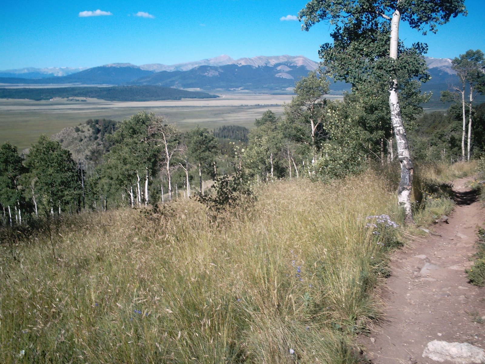
Days 1 to 2: Kenosha Pass to Gold Hill Trailhead (Segment 6, ~32.9 miles). The trail climbs gradually onto Georgia Pass, the first Continental Divide crossing on this route, through broad, sloping tundra with wide-open views. Long but not technically hard, a reasonable way to acclimatize before the steeper climbs ahead. Gold Hill Trailhead connects easily to Frisco or Breckenridge via the free Summit Stage bus for a resupply stop or a night off-trail.
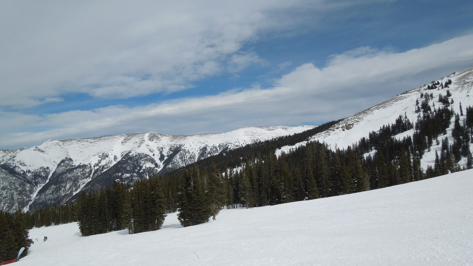
Day 3: Gold Hill Trailhead to Copper Mountain (Segment 7, ~12.8 miles). A stout climb takes you onto the crest of the Tenmile Range and above 12,000 feet for sustained stretches, the first genuinely alpine terrain on this route. Afternoon storms are a real consideration since much of the segment sits above treeline; plan to clear the exposed ridgeline by early afternoon. Copper Mountain Resort at the end makes a good stop for a hot meal.
Days 4 to 6: Copper Mountain to Tennessee Pass Trailhead (Segment 8, ~25.4 miles). The trail climbs again to Searle and Kokomo Passes, two scenic high points a few miles apart, with views toward Mount of the Holy Cross on the descent. Partway down, the trail passes the ruins of Camp Hale, the World War Two training ground for the Army’s 10th Mountain Division. The final stretch mellows onto old railroad grade before reaching Tennessee Pass Trailhead near Leadville.
Collegiate West: Twin Lakes to Monarch Pass (~83 miles, 6 to 9 days)
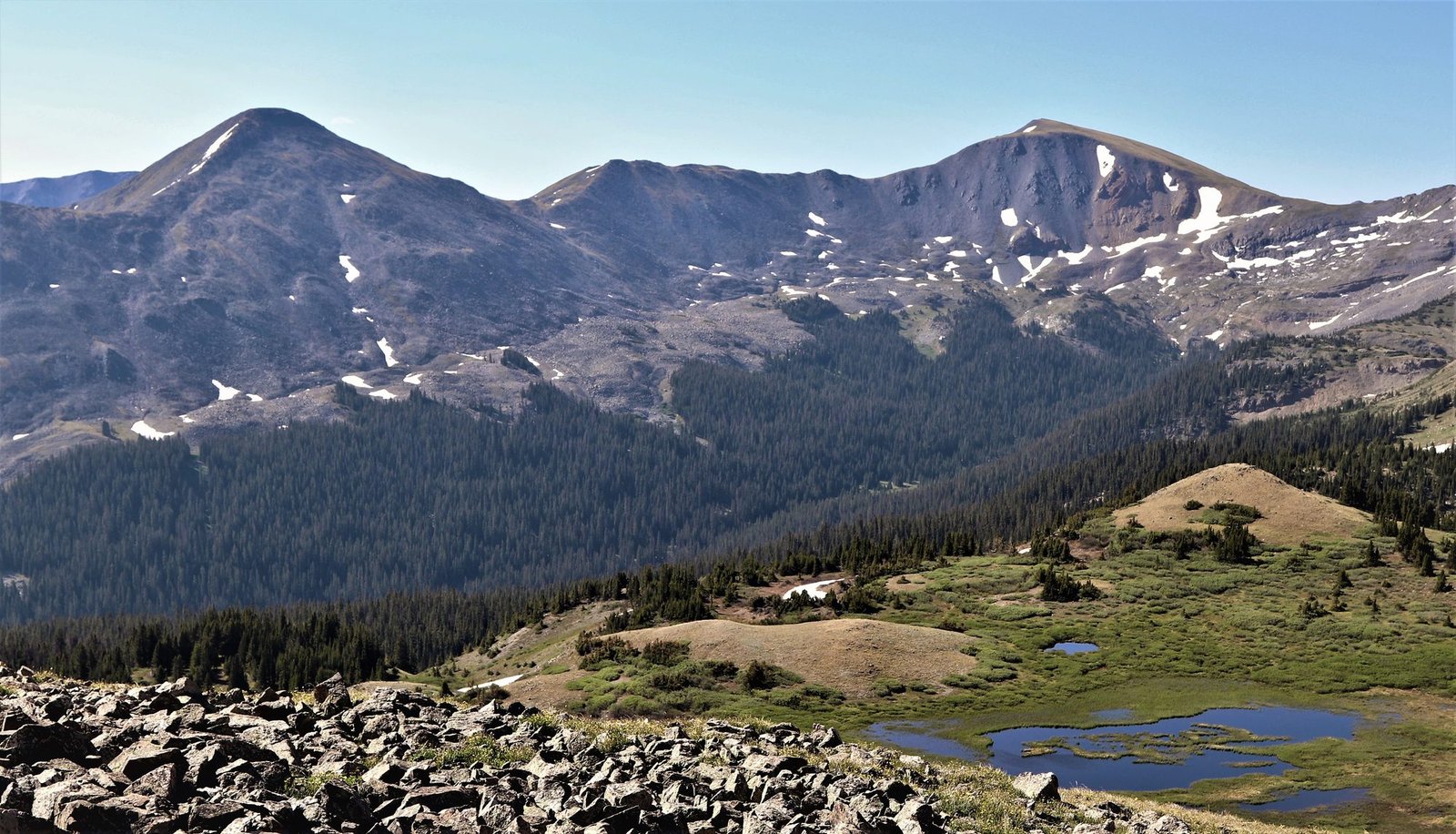
Days 1 to 2: Interlaken Trailhead to Hope Pass and beyond (CW1, ~9.8 miles). The route opens with a demanding climb of more than 3,000 feet to Hope Pass, above 12,500 feet, part of the course used by the Leadville 100 ultramarathon. A hard start, but the payoff is immediate: sweeping views back toward Twin Lakes and forward into the Collegiate Peaks.
Days 3 to 4: Toward Lake Ann Pass and Cottonwood Pass (CW2 and CW3, ~41.8 miles combined). CW2 crosses Lake Ann Pass, another dramatic high crossing above 12,500 feet, before reaching Cottonwood Pass Trailhead on Highway 306, a popular day-hiking spot most visitors leave within the first mile. Past that point, CW3 settles into miles of exposed, rolling ridgeline directly along the Continental Divide, with limited tree cover; identify bail-out points before committing to the ridge each morning.
Days 5 to 6: Chalk Creek Pass to Boss Lake (CW4 and CW5, ~31.6 miles combined). CW4 mixes dramatic old railroad grade with rougher jeep road before climbing back to alpine terrain at Chalk Creek Pass, just over 12,000 feet. CW5 opens with another sustained climb from Boss Lake Trailhead to the Continental Divide, past pristine alpine lakes, before easing through the edge of Monarch Ski Resort toward the finish.
Days 7 to 9 (optional buffer): Build in slack rather than treating this as a fixed nine-day schedule. Above-treeline terrain and afternoon storms make this route genuinely weather-dependent, and a spare day or two absorbs a forced early camp. The route ends at Monarch Pass Trailhead on US-50, where the Monarch Crest Store makes a well-earned final stop.
Segments 21 to 24: Spring Creek Pass to Molas Pass (~69 miles, 5 to 7 days)
Day 1: Spring Creek Pass to Snow Mesa (Segment 21, ~14.7 miles). The trail climbs into sustained high tundra, culminating in several exposed miles across Snow Mesa at around 12,200 feet. It is a dramatic place to camp on a clear evening and a genuinely risky one if storms are building; check the forecast carefully before committing to a mesa camp.
Day 2: Snow Mesa to Carson Saddle, past the trail’s highest point (Segment 22, ~17.2 miles). This segment holds the highest point on the entire Colorado Trail, 13,271 feet near Coney Summit. Miles of high tundra and sweeping Continental Divide views follow. Carson Saddle itself is only accessible by 4WD, so this segment is best combined directly with the next one rather than treated as a natural break point.
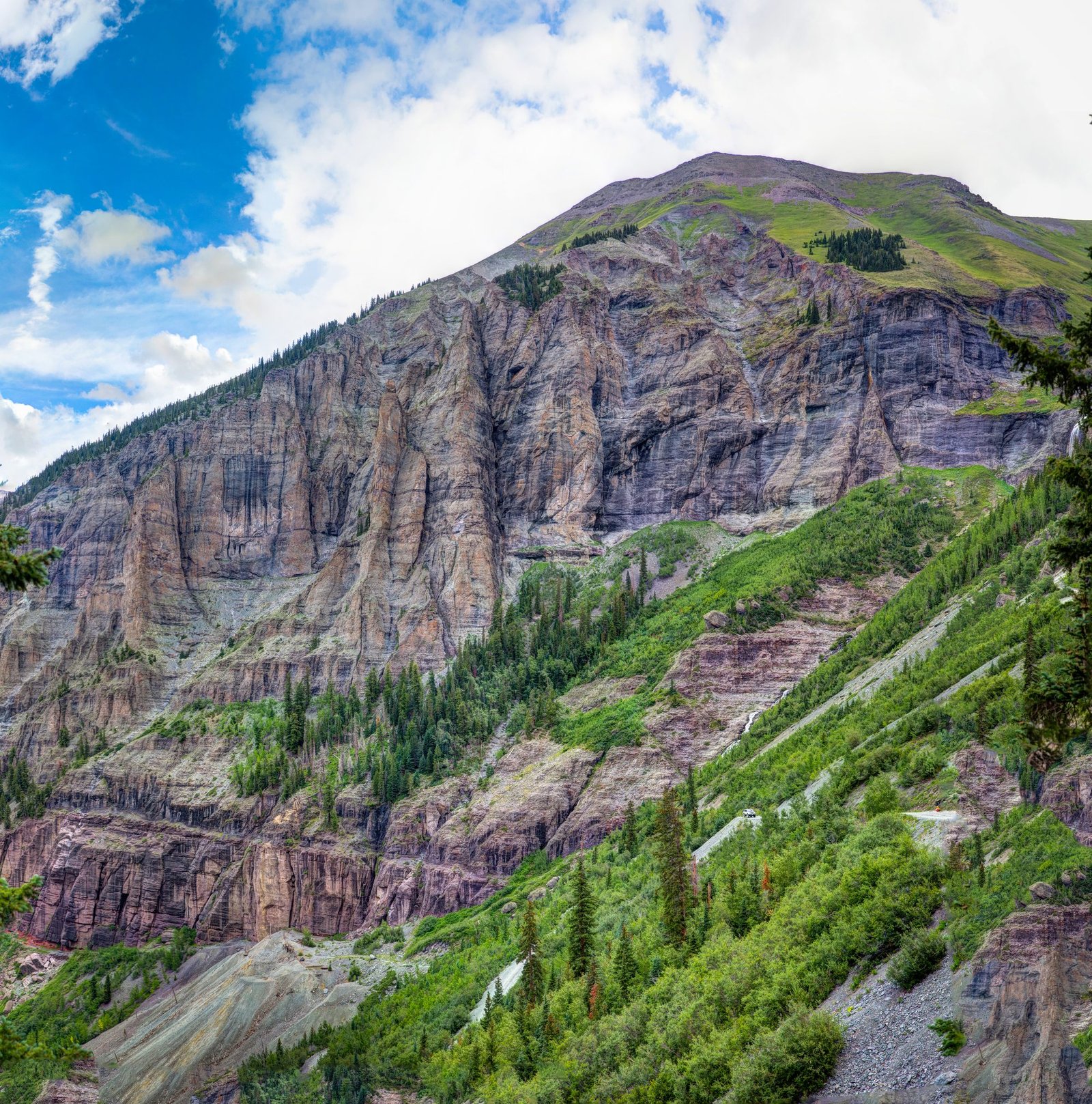
Day 3: Carson Saddle to Stony Pass (Segment 23, ~15.9 miles). Widely regarded among experienced Colorado Trail hikers as one of the best single days on the entire trail. The San Juans here feel younger and more jagged than the ranges to the north, with blue-green slopes and crystalline rock underfoot. Neither end of this segment is easily accessed by vehicle, which keeps it quiet even in peak season.
Days 4 to 5: Stony Pass to Molas Pass (Segment 24, ~20.9 miles). The segment opens with roughly seven more miles of high terrain and alpine lakes before the trail drops dramatically into the Elk Creek drainage, losing close to 4,000 feet over about 8 miles to the Animas River. This is the most physically demanding descent across all three sections in this guide, hard on the knees and worth genuinely respecting rather than rushing. The trail then climbs back out to Molas Pass on US-550, a straightforward final approach after the Elk Creek descent.
What to Expect
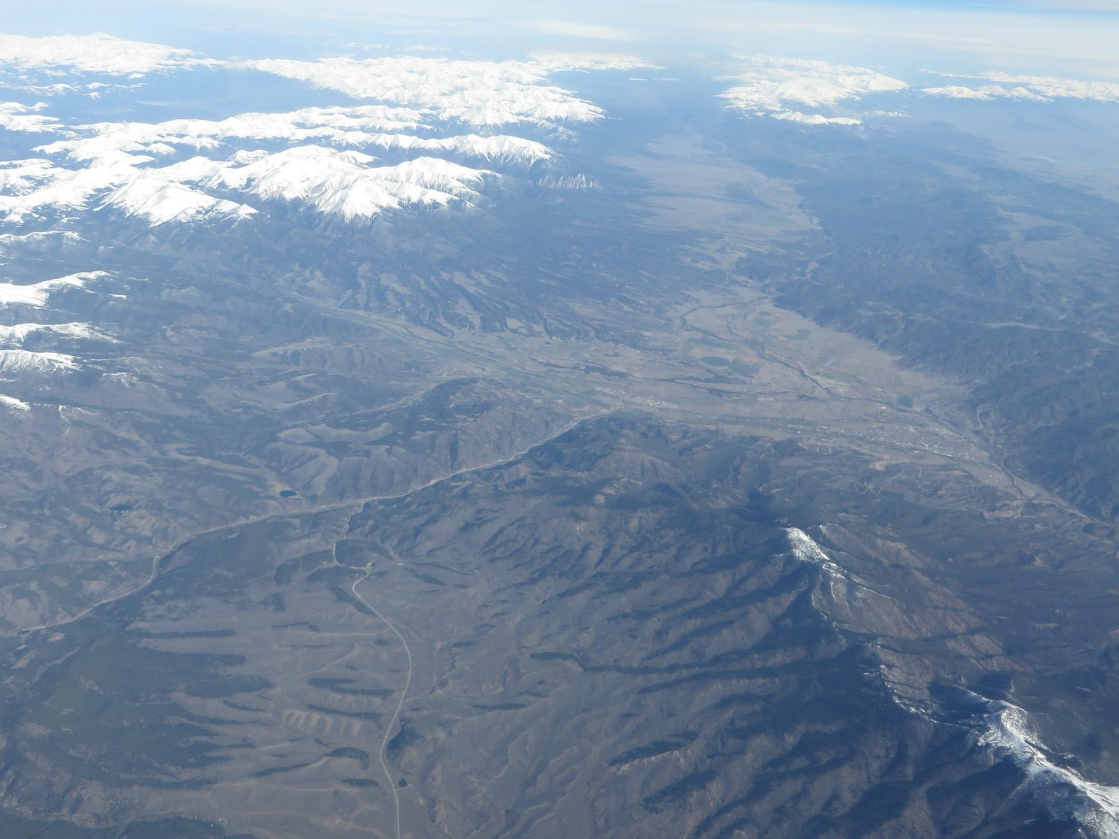
Terrain: All three sections spend significant time above 11,000 feet, with sustained exposed ridgeline walking rather than isolated summit pushes. The San Juan section (Segments 21 to 24) is the most rugged, including the trail’s steepest sustained descent in the Elk Creek drainage. Collegiate West is the most consistently high-alpine, with five separate crossings above 12,000 feet.
Weather: Afternoon thunderstorms are a near-daily risk in July and August across all three sections, and lightning is a genuine danger at these elevations. A specific hazard worth flagging: the stretch between Spring Creek Pass and the top of the Elk Creek drainage runs roughly 35 miles largely above treeline with limited shelter from storms, spanning most of the San Juan section covered here. Plan to be off exposed ridgelines by early afternoon, and expect a genuine swing from below freezing at night to the 80s during the day.
Wildlife: Black bears are present across the trail, though the Colorado Trail Foundation reports the main issue is food raids rather than aggressive encounters; standard food storage still applies. Mountain lion sightings are occasionally reported but attacks on hikers are essentially unheard of. Expect marmots, elk, deer, and a real chance of bighorn sheep at higher elevations.
Crowds: The Front Range section (Segments 6 to 8) sees the most traffic, including day hikers and mountain bikers near Frisco, Breckenridge, and Copper Mountain, since bikes are permitted there. Collegiate West and the San Juan section are quieter overall, though Collegiate West gets meaningful day-hiker traffic near Cottonwood Pass. All three thin out away from road-accessible points.
Signature features: Camp Hale’s 10th Mountain Division history and the Tenmile Range crest in Segment 7 and 8; Hope Pass and the Continental Divide ridgeline in Collegiate West; Snow Mesa, the Colorado Trail’s highest point, and the Elk Creek drainage descent in the San Juan section.
Water: sources, safety, and treatment
Water is generally available across all three sections covered here; the Colorado Trail’s two genuinely long dry stretches (Segments 17 to 19 and Segments 26 to 27) fall outside these routes, so carrying multiple days of water is not the concern it is elsewhere on the CT. That said, availability is still not constant, particularly on the exposed ridgeline stretches of Collegiate West and the high tundra of Segments 21 and 22, so top up whenever you cross a reliable source rather than assuming another will appear on schedule.
No water source on the Colorado Trail should be considered drinkable untreated, according to the Colorado Trail Foundation’s own guidance. This applies even to clear-looking high alpine streams and lakes, since livestock grazing, wildlife activity, and other trail users all introduce contamination risk. A water filter rated for variable water quality is standard kit on all three sections; carry a backup treatment method (chemical tablets or a UV pen) in case your filter clogs or fails, since freeze-thaw damage is a real risk at these elevations even in summer.
Logistics
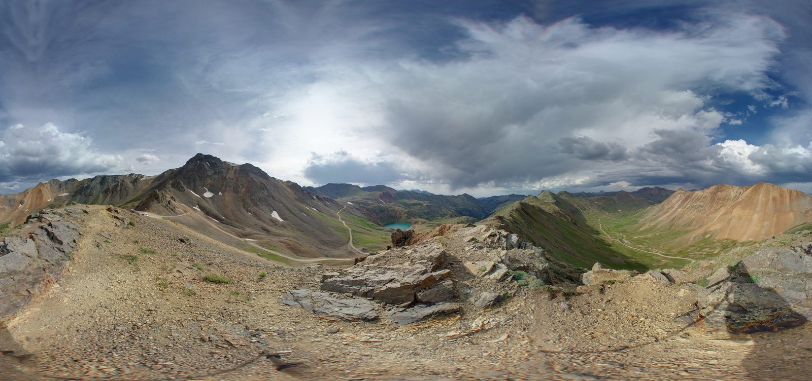
No permit is required to hike the Colorado Trail itself. Where the route passes through a designated wilderness area, a free self-issue permit is required at the trailhead kiosk: fill it out on arrival, leave one half at the station, and carry the other half with you. This applies to Collegiate West (Collegiate Peaks Wilderness) and to Segments 21 through 24 (La Garita Wilderness, then Weminuche Wilderness). Both carry group size and camping restrictions under standing Forest Service special orders; ⚑ confirm current group size limits with the relevant Ranger District before a group trip, since exact figures were not consistently published across sources at drafting time. Segments 6 to 8 cross no wilderness and require no permit at all.
There is no fee to walk the Colorado Trail, though some trailhead parking areas and campgrounds along the way do charge. Cell coverage is spotty, best near towns and at high points; do not rely on a phone as your primary safety plan, and consider a satellite communicator for the remote stretches in Segments 21 to 24. Camping is allowed along most of the trail on previously used sites near the route; avoid undisturbed ground and private land near the small communities you pass.
Mandatory Gear Checklist
- An insulated jacket rated for genuine alpine cold. All three sections spend long stretches above 11,000 feet where nighttime temperatures can drop well below freezing even in July and August. See best insulated jackets for hiking.
- A reliable water filter plus backup treatment. Necessary given the water safety guidance above and the freeze-thaw risk to filter membranes at altitude. See best water filters for hiking.
- A hard shell or genuinely waterproof rain layer. Daily afternoon thunderstorms are close to guaranteed in peak season on all three sections; a “probably fine” shell is not sufficient at 12,000 feet in a hailstorm.
- Broken-in trail runners or hiking boots with reliable traction. The Elk Creek descent in Segment 24 in particular punishes worn-out footwear on a long, steep, loose grade. See best hiking boots.
- Trekking poles, genuinely useful across all three sections’ sustained climbs and descents, especially the Hope Pass climb on Collegiate West and the Elk Creek drop on Segment 24. See best trekking poles.
- Sun protection, including a broad-brim hat or sun hoodie and high-SPF sunscreen. Much of this route sits above treeline with constant sun exposure at altitudes where UV intensity is meaningfully higher than at sea level.
- A bear-resistant food storage method. Not mandatory by regulation on these three sections, but sensible given the Colorado Trail Foundation’s own reports of bears raiding hiker food. See best bear canisters for multi-day hiking if you would rather carry your own than rely on a tree-hang in terrain that is often above treeline.
Want the full kit list for all three sections, dialed for the altitude and afternoon storms? See our companion guide, What to Pack for the Best Colorado Trail Sections.
Honest Assessment
These three sections suit a fit, altitude-tolerant multi-day hiker who wants the Colorado Trail’s high-alpine character without the 4 to 6 week commitment of a full thru-hike. Each demands genuine comfort with sustained time above 11,000 feet and the storm exposure that comes with it; this is not forgiving terrain for a first multi-day trip.
They do not suit hikers uncomfortable with altitude, since none of these three sections offer an easy low-elevation bailout for much of their length, or anyone expecting the same access logistics across all three. The Front Range section is genuinely the easiest to arrange transport for, thanks to Denver’s proximity and the free Summit Stage bus; the San Juan section demands real planning around a smaller regional airport and less frequent shuttles.
Among experienced Colorado Trail hikers, Segment 23 in particular is repeatedly singled out as one of the best single days on the entire trail, and Collegiate West is broadly considered the more scenic (and more exposed) alternative to the parallel Collegiate East route. For a shorter first taste of the Colorado Trail’s alpine character with easier logistics, Segments 6 and 7 alone make a solid long weekend.
Final Thoughts
The Colorado Trail rewards hikers willing to trade some of its total mileage for time actually spent above treeline, which is exactly what these three sections deliver. Start with how to plan your first multi-day hike if you are still building toward a trip at this altitude. For a comparable Western “best sections” trip at lower average elevation, see our Pacific Crest Trail best sections guide, or for an Eastern equivalent, our Appalachian Trail best sections guide.
Frequently Asked Questions
Do I need a permit for any of these three sections?
No formal permit is required to hike the Colorado Trail. Where the route crosses a designated wilderness area, a free self-issue permit is required at the trailhead kiosk, which applies to Collegiate West and to Segments 21 through 24. Segments 6 to 8 cross no wilderness and require nothing at all.
Which of these three sections is best for a first high-altitude multi-day trip?
Segments 6 and 7 combined, roughly 45 miles and 3 to 4 days. Access is the easiest of the three (Denver is 1.5 hours from the start, with a free bus partway through), and while the Tenmile Range crest still climbs above 12,000 feet, the section is shorter and less sustained at altitude than either Collegiate West or the San Juan segments.
How much altitude acclimatization do I need before starting?
The Colorado Trail Foundation itself does not publish a formal recommendation, but most guides suggest spending at least two to three days at elevation (8,000 feet or higher) before starting any of these sections, especially Collegiate West and the San Juan segments, both of which climb above 12,500 feet within the first day or two.
Can I combine two of these three sections into one longer trip?
Not directly. All three sit in different parts of the state with no practical way to walk between them; each needs its own trip and transport plan. Hikers wanting a continuous experience across more of the trail should combine adjacent official CT segments (for example, Segments 6 through 11) rather than jumping between the three sections in this guide.
Do I need a bear canister on these sections?
Not by regulation. The Colorado Trail Foundation reports occasional bear activity around hiker food rather than aggressive encounters, and a well-executed hang or soft-sided bear-resistant bag is common practice. A hard-sided canister is a reasonable extra-caution choice given how much of this route sits above treeline, where a tree hang is not always possible.
